OSM import
BlenderGIS offers the ability to import OpenStreetMap (OSM) data into Blender. OSM data is licensed under the Open Data Commons Open Database License (ODbL). You are free to use, copy, distribute or adapt these data, as long as you credit OpenStreetMap and its contributors.
There are 2 ways to import OSM data :
-
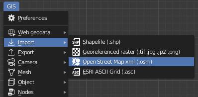
Direct import of OSM xml datafile : you can grab xml using the export tool of the main OSM webamp interface (www.openstreetmap.org)
If the scene is not yet georeferenced then data will be reprojected into the right UTM zone.
-
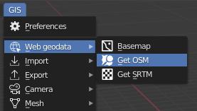
Using the Get OSM operator to querying data directly from Blender : this operator is only available if the scene is already georeferenced, for example by using basemaps addon beforehand. The extent of the request is defined by the current selected object or by the current 3d view extent if there is no selectino and the view is set to top orthographic.
Requesting data relies on third party servers running an Overpass API instance. Taking this into consideration, the functionality can be broken at any time (server closed, in maintenance or overloaded), and can fails due to any network issue (no internet, instable connexion, proxy of firewall missconfiguration).
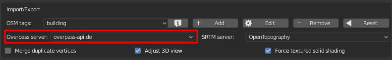
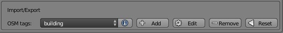
The overpass server endpoint url can be setup in the addon preferences :
Importer allows to filter features by type (node, way or area) and by tags :
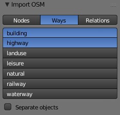
It's possible to edit the list of filter tags available by default
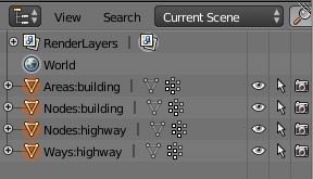
Standard import will create one mesh for each feature type and filter tag combinaison :
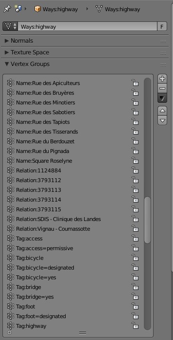
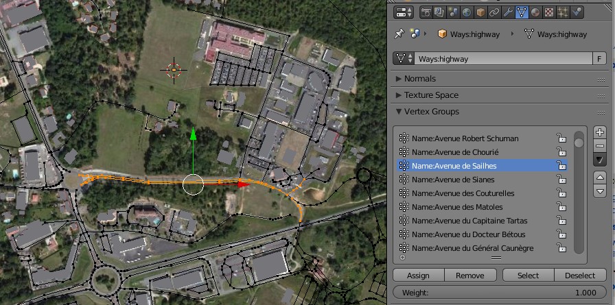
These meshes contains vertex group to retrieve features names, tags and relations :
It's also possible to sperate each feature into distinct objects, but keep in mind that Blender is not designed to handle hundreds of objects...
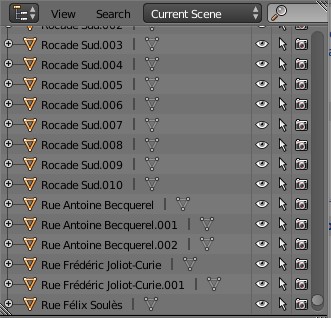
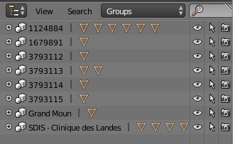
In this case, relations will be transpose into groups :