Make terrain mesh with Delaunay triangulation
Delaunay triangulation is suitable for create a 3D surface from points cloud or contour lines generally obtained from a topographical survey.
This type of vector representation of land surface is usually called Triangulated irregular network (TIN).
This opetaror will computes Delaunay triangulation in 2.5D only.
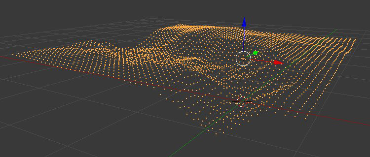
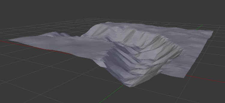
Triangulation from heterogeneous points cloud
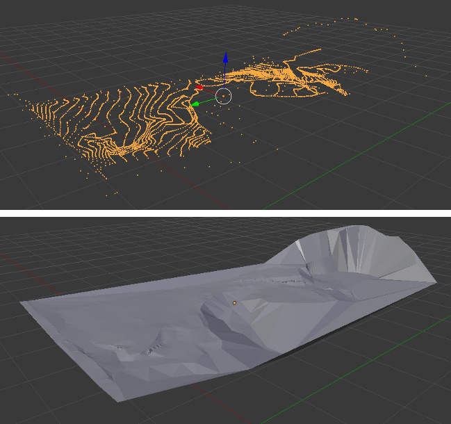
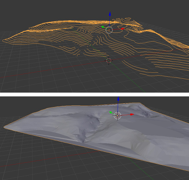
Triangulation from contour lines
Triangulation from DEM regular points cloud
Using Delaunay triangulation can also be a strategy to create a TIN from a DEM raster dataset imported as vector points.