This package is to simulate the UWB range measurements in ROS environment. Generated data published to “uwb_data_topic”

The file that contains the UWB anchor information is in "launch/uwb_anchors_set.launch" file. It is possible to add or remove the UWB anchors as you like.
Note : uwb tag frame name should be as follows uwb_anchor_0, uwb_anchor_1, uwb_anchor_2 ...
Location of the tag has been taken from the robot position so to use this information "modelstate_index" parameter (for turtlebot3 modelstate_index =2) which is in "launch/uwb_simulation_initializing.launch" file must set correctly depending on the robot model used. It is possible to find your own robot parameter in "gazebo/model_states" topic.
Use the command below in terminal to start it with default settings
roslaunch pozyx_simulation uwb_simulation_initializing.launch
Name of the publisher topic is "uwb_data_topic". You can check it by using the command below in terminal
rostopic echo /uwb_data_topic
Message type consists of 3 different arrays
1. anchors name => int64[] destination_id
2. anchors distance to robot => float64[] distance
3. time stamp => time[] stamp
If you want to start manually with custom maps. You can change map and map configuration in maps folder and start manually with the codes below.
rosrun map_server map_server map.yaml rosrun rviz rviz rosrun pozyx_simulation uwb_simulation.py
Noise has been added to the every UWB ranging data
np.random.normal(0, uwb_dist*0.015,1)
Firstly run gazebo simulation after than run rviz
- run rqt
- in rqt window "Plugins" => "Topics" => "Topic Monitor"
- in that window find /gazebo/model_states/ topic and checked that line
- control robot pose in which parameter for example ['ground_plane','robot_symbol','turtlebot_waffle'] in thise case index 2
- go repo folder /launch/uwb_manually_initializing.launch file and change modelstate_index parameter
 <node pkg="pozyx_simulation" name="pozyx_simulation"  type="uwb_simulation.py" output="screen">
       <param name="modelstate_index" value="2" />
For this process get robot or drone real position afther that to place uwb anchor in maps.
- go repo folder /launch/uwb_anchors_set.launch and open
- for each uwb anchor's set a name and position for example
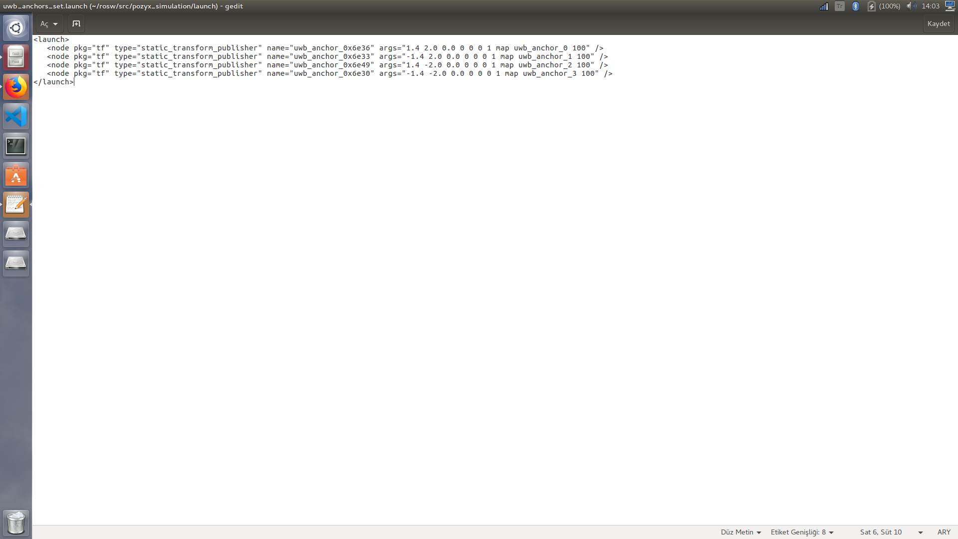
<launch>
   <node pkg="tf" type="static_transform_publisher" name="uwb_anchor_0x6e36" args="1.4 2.0 0.0 0 0 0 1 map uwb_anchor_0 100" />
   <node pkg="tf" type="static_transform_publisher" name="uwb_anchor_0x6e33" args="-1.4 2.0 0.0 0 0 0 1 map uwb_anchor_1 100" />
   <node pkg="tf" type="static_transform_publisher" name="uwb_anchor_0x6e49" args="1.4 -2.0 0.0 0 0 0 1 map uwb_anchor_2 100" />
   <node pkg="tf" type="static_transform_publisher" name="uwb_anchor_0x6e30" args="-1.4 -2.0 0.0 0 0 0 1 map uwb_anchor_3 100" />
</launch>
- go /src/uwb_simulation.py file and add anchors
def uwb_simulate(sensor_pos):
    while not rospy.is_shutdown():
        time.sleep(0.1)
        all_distance = []
        all_destination_id = []

        for i in range(len(sensor_pos)):
            #calculate distance uwb to robot for all anchors
            dist = calculate_distance(sensor_pos[i])
            all_distance.append(dist)

        #uwb_anchors_set.launch same order (not important for simulation)
        all_destination_id.append(0x694b)
        all_destination_id.append(0x6948)
        all_destination_id.append(0x694f)
        all_destination_id.append(0x694a)

        #publish data with ROS
        publish_data(all_destination_id , all_distance)
Now pack is ready to run.
- Firstly call anchors
roslaunch pozyx_simulation uwb_anchors_set.launch - After that run main calculation script
roslaunch pozyx_simulation uwb_manually_initializing.launch
For check all pack is working
rostopic echo /uwb_data_topic
This process give robot to uwb_anchor distance for example
destination_id: [26955, 26952, 26959, 26954]
distance: [4192.039813830616, 2564.0268225317145, 3703.2810901751322, 1621.13755039097]
stamp:
  -
    secs: 1039
    nsecs: 440000000
  -
    secs: 1039
    nsecs: 440000000
  -
    secs: 1039
    nsecs: 440000000
---
This simulation give only robot to anchors distance. For calculate robot position use ieuagv_localization repo https://github.com/bekirbostanci/ieuagv_localization
export TURTLEBOT3_MODEL=burger
roslaunch turtlebot3_gazebo turtlebot3_world.launch

export TURTLEBOT3_MODEL=burger
roslaunch turtlebot3_navigation turtlebot3_navigation.launch

roslaunch pozyx_simulation uwb_anchors_set.launch

rosrun pozyx_simulation uwb_simulation.py

rosrun advoard_localization kalman_filter_localization.py